

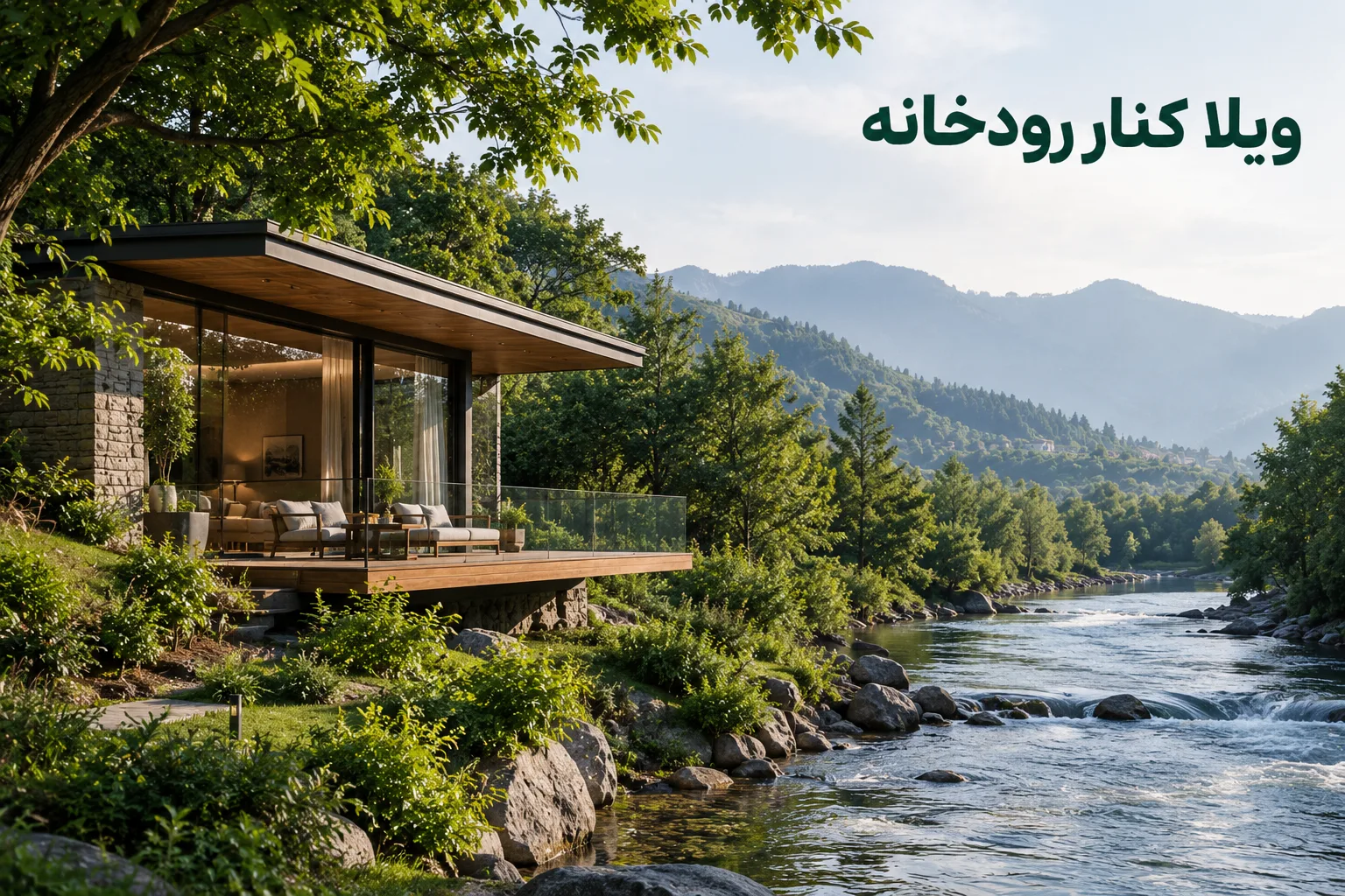
In the north, riverside land is the kind that wins your heart before your head: the view of the water, the trees along the bank, the sound of the current. But before it wins you over, there are two questions you need answers to. One is legal: how much of this land can actually be built on? The other is physical: how far does the water come?
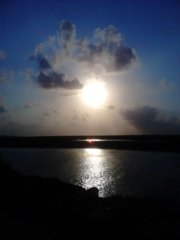 Sunset on the Babolrud, Babolsar. The very view that makes riverside plots so desirable. Photo: ZxxZxxZ — Wikimedia Commons, CC BY-SA 4.0 (resized)
Bed and setback: two lines that aren’t on the seller’s map
The answer to the first question is in Iran’s “Regulation on the Beds and Setbacks of Rivers, Streams, Watercourses, Marshes, Natural Ponds and Water Supply Networks” (approved by the Council of Ministers, 2000). Two of its definitions explain the whole story:
- Bed: the part of a river or watercourse determined from records and the “maximum flood with a 25-year return period”. So the bed isn’t just where the water is today; it’s where the 25-year flood reaches.
- Setback (harim): the land immediately beyond the bed. For dredging and operation it is 1 to 20 metres, and for protecting water quality up to 150 metres, from the edge of the bed. For rivers that supply drinking water, the quality setback is a fixed 150 metres.
The exact figure for each river is set by the Ministry of Energy or the regional water company, depending on that river’s condition. There’s one more point in these definitions: if a river has naturally changed course, its former bed remains with the state. So dry land that “used to be river” isn’t necessarily free land.
What does building in the setback mean?
Under Article 13 of the same regulation, “any occupation of the bed and setback is subject to the prior written consent of the Ministry of Energy”, and municipalities and other bodies must check the bed and setback before issuing a permit. Article 6 adds that if the regional water company deems it necessary, it can remove any structure — even trees — in the bed and setback.
So a wall, a yard, or even a platform by the water built within the setback may one day get a demolition order — and the money paid for the “riverside view” stays right there.
Before you buy: one simple inquiry
The good news is you don’t have to guess. Under Article 9, if someone wants the limits of the bed and setback of the river next to their property determined, the regional water company must determine them under this regulation, for an expert fee. So before buying, you can find out exactly how many metres of the land effectively belong to the river. We covered the other pre-purchase inquiries in our checklist before buying land.
Source: Text of the Regulation on River Beds and Setbacks (2000) — Noshahrsazi (in Persian)
Floods: the water doesn’t know where the setback line is
Now the second question. Remember the bed is set by the 25-year flood. So a flood bigger than that, by definition, spills beyond the bed. The legal setback is a minimum, not a guarantee the water won’t reach you.
The north has seen this. The Nowruz 2019 floods began on 17 March 2019 with the rains in Golestan and Mazandaran. According to Wikipedia, flash floods hit more than 200 villages in Mazandaran alone, and 193 villages lost power. Nationwide, at least 25,000 homes were completely destroyed and another 60,000 damaged.
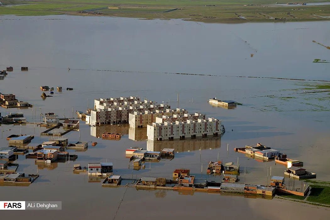 The March 2019 flood in Aqqala, Golestan province — the same wave of rain that hit Mazandaran. Photo: Ali Dehghan, Fars News Agency — Wikimedia Commons, CC BY 4.0
And one number worth always remembering: the US government’s preparedness site Ready.gov says just six inches (about 15 cm) of moving water can knock you down, and one foot (about 30 cm) can sweep your car away.
Sources: 2019 Iran floods — Wikipedia; Ready.gov — Floods
Raising the house — and the trouble it brings
In the US, under the rules of the National Flood Insurance Program, a home built in a flood zone must have its lowest floor, including any basement, at or above the “base flood elevation”. Enclosed space beneath is only allowed if it has openings that let floodwater flow in and out freely, instead of pushing against the walls.
It sounds like a simple idea: raise the house. But in Mazandaran it brings a serious problem with it. A house sitting on an open ground floor is exactly the pattern engineers call a “soft storey”, the most dangerous decision in an earthquake, as we explained in earthquake-resistant villas in the north. So by a river you have to answer both flood and earthquake at the same time: an open lower floor, with enough shear walls or bracing, and calculations that account for both.
And a basement? By a river, with a high water table and flood risk, it’s usually the worst possible place for one, as we showed with numbers in high groundwater and building foundations.
Source: Flood opening — Wikipedia
Decisions, in order
| Stage | Right move | Why |
|---|---|---|
| Before buying | Ask the regional water company to set the bed and setback limits | Article 9 gives you this right |
| Before buying | Ask how far past floods reached | The bed only accounts for the 25-year flood |
| Design | No construction in the bed or setback | Articles 13 and 6: permission needed, demolition possible |
| Design | Floor above known flood levels; no basement | Water mustn’t reach living space |
| Structure | An open lower floor only with deliberate seismic design | Raising the house mustn’t create a soft storey |
Riverside land can give you the best villa of your life — provided you know from the start how much of it the river keeps for itself. If you have land by the Babolrud, Haraz, Talar or any other river in Babol, Amol, Babolsar or Qaemshahr, let’s look at it together before any decision.


No comments yet. Be the first.